At
mobilization in 1914 maps had been issued to officers corresponding to the
areas they were to operate in but the war of movement meant they would often
march "off the map" before new ones could be issued. Once the war of
movement was over on the western front the marching maps were no longer detailed
enough for the units in the trench. Detailed maps with local terrain features
were needed. Initially 11 Festungs-Vermessungs-Abteilungen (fortress surveying
section) had taken to the field to make maps for the heavy artillery, these
were followed by Feldvermessungstrupps (Field surveying troops) set up by the
A.O.K.s. (Armee Ober Kommando).
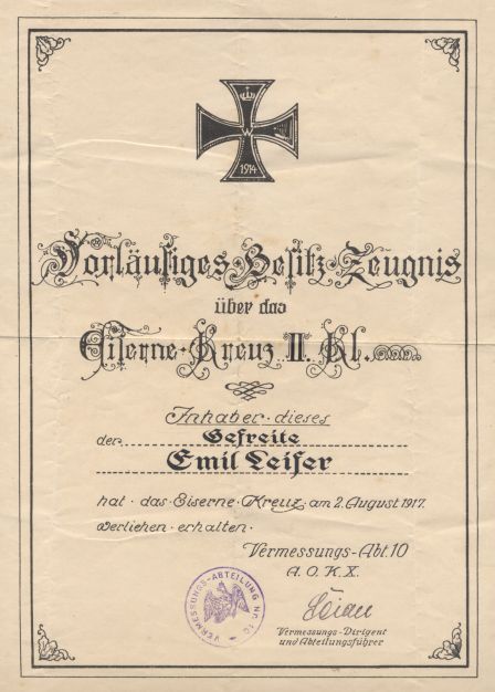
Right: Iron Cross award document to a member of the mapping section 10 of the A.O.K.10 on the Eastern Front
In
July 1915 the position of Feldvermessungschef was created to oversee the
surveying units. These were divided into a Meßwesen der Artillerie and
Vermessungs Abteilungen, one of which was attached to each A.O.K. in the west
and each Heeresgruppe in the East.
Each
Abteilung had a Geology group, Trigonometry group and panoramic photo group as
well as a printing and map making section. The Geologists were also used in an
advisory capacity when it came to trench digging, mining, irrigation etc. The
trigonometry group measured the terrain and important features on the ground
and the panoramic photo detachment worked closely with the Feldluftschiffer (Balloon)
units who photographed deep into enemy territory.
Using
their combined skills the Vermessungs Abteilung would update maps showing
changes behind the enemy lines and document the results of the artillery fire.
To collect the needed information mapping sections were created at
Gruppenkommando and divisional level.
By
1917 there were 2 Vermessungs-Abteilungen for each A.O.K. with a Staff officer
to command them. The staff officer was responsible within the A.O.K. he was
attached to for all Geographical surveying, trigonomic, topographic and
photographic work, the printing and distribution of maps, the personnel of the
Vermessungs Abteilungen and their equipment.
To
give a better overview of work done a responsible for each front sector was
appointed in July 1917. Kommandeure der Vermessungstruppen Nr.1 for the Western
Front, Kommandeure der Vermessungstruppen Nr.2 for the South Eastern front. Two
months later the Stabsoffizier des Vermessungswesens of the Heeresgruppe
Woyrsch became the Kommandeure der Vermessungstruppen Nr.3 for the Eastern
Front.
The
three Kommandeure der Vermessungstruppen had the Feldvermessungschefs of the
various A.O.K. or Heeresgruppen on their respective fronts reporting to them,
he was able to transfer men and material within his sector and coordinate the
work done in border areas between different A.O.K.s.

 Right: Iron Cross award document to a member of the mapping section 10 of the A.O.K.10 on the Eastern Front